
Shortest flight path – great circle routes
Choosing the shortest flight route is important to save both time and fuel. Here you can learn all about how great circle navigation helps the aviation industry to optimize its paths and why the shortest routes are usually displayed as an arc in a map.
The fact that the Earth isn’t flat was settled quite a few years ago, and the spherical shape of our planet is actually an important fact to consider when traveling by air. To find the shortest route on a sphere, you need to use the so-called great circles. A great circle is the largest possible circle that can be drawn on a sphere, and can be defined as any circle that divides the sphere into two equal halves and is centered on the sphere's center.
As confusing as this may sound, a great circle is actually the shortest path between any two points on the surface of a sphere. For example on Earth, the equator is a great circle, as are the lines of longitude that pass through both the North and South Poles.
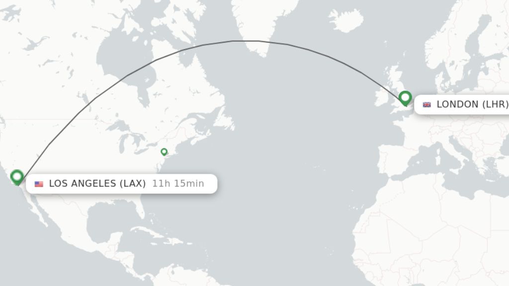
When it comes to long distance flights around the world, the routes are generally created based on the great circles. Traveling along a great circle means that you might not travel along a straight line on a flat map. Take a look at the images below to see the difference in the route between London and Los Angeles when presented on a sphere and on a flat map. Note that the lines pass the same geographical points on the route – for example the south of Greenland.
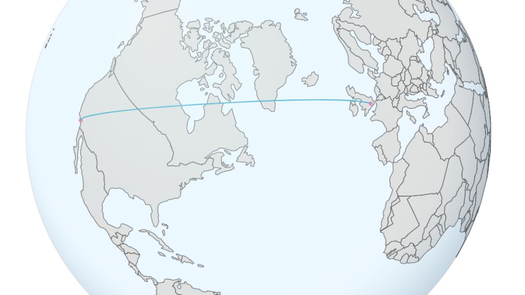
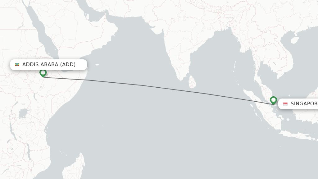
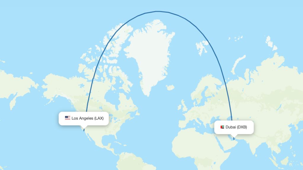
The appearance of a great circle route on a flat map also depends on its proximity to the equator – routes passing close to the equator will appear as a straight line while routes further away will appear as much more of an arc. Below you find one example of each kind of route.
But why is a great circle route the shortest option? The easiest way to explain it without going deep into mathematics is probably to state the fact that a straight line in a two-dimensional map is not the same as a straight line on a three-dimensional globe. This means that choosing a great circle route instead of flying in, what appears to be, a straight line saves both time and fuel.
Popular great circle routes
Great circles are mainly being used when it comes to long distance flights, for example when traveling from the US to Europe or Asia. Listed below you find some examples of great circle routes.
New York (JFK) to Tokyo (HND) – This route crosses over the North Pacific Ocean, offering the shortest path between these major cities on opposite sides of the globe.
London (LHR) to Los Angeles (LAX) – Flights on this route usually pass over Greenland and Canada, reflecting the curvature of the Earth and shortening the travel distance.
Sydney (SYD) to Santiago (SCL) – This is one of the longest direct flights in the world, and it generally takes a route over the South Pacific Ocean, closely following a great circle.
Johannesburg (JNB) to New York (JFK) – This flight typically crosses over the Atlantic Ocean, near the equator, optimizing the distance traveled between the southern tip of Africa and the eastern coast of the US.
San Francisco (SFO) to Hong Kong (HKG) – The route crosses the Pacific Ocean, taking advantage of the Earth’s curvature to minimize the flight distance.
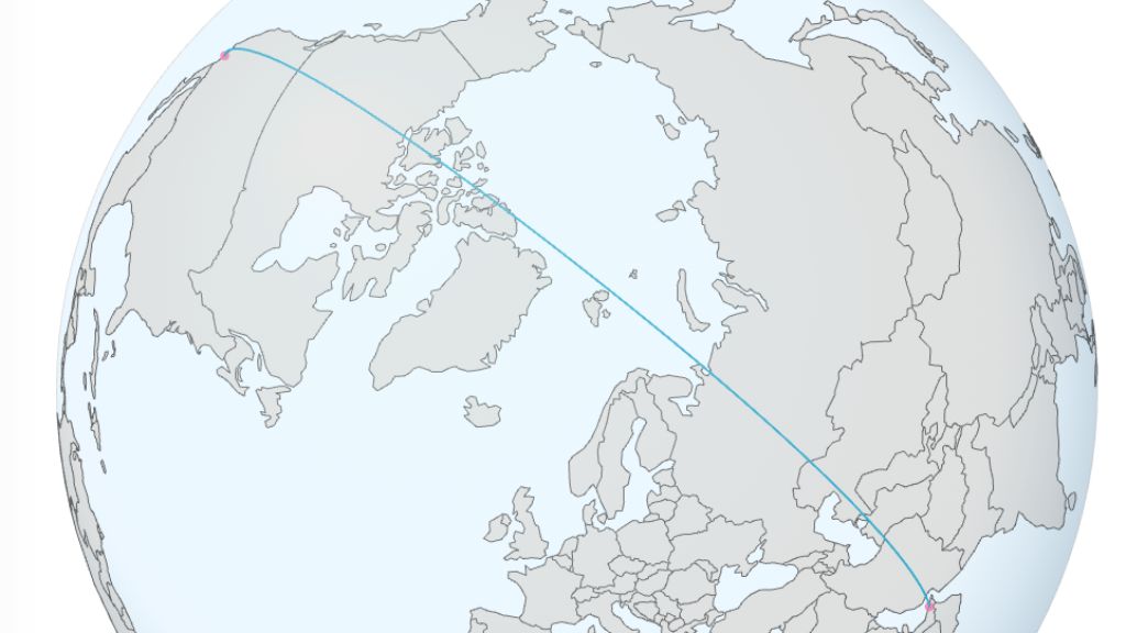
Helsinki (HEL) to Bangkok (BKK) – Flights on this route often pass over parts of Russia, China and other countries in Central Asia. This north-to-south trajectory takes advantage of the great circle route to reduce the distance traveled between Finland and Thailand.
READ MORE

New routes and schedules – updated monthly
Read more

Emirates – route map
Read more

Choose the right terminal hotel at Dubai Airport
Read more

Flight paths over the Middle East
Read more

Actual flight paths – choose your route
Read more

Airlines who still use Russian airspace – full list
Read more

Increased CO2 emissions caused by airlines avoiding Russia & Ukraine
Read more
Hawaiian Airlines – new routes and destinations 2025
Read more
New airline routes 2025 – a global compilation
Read more
NAM Air – route map
Read more
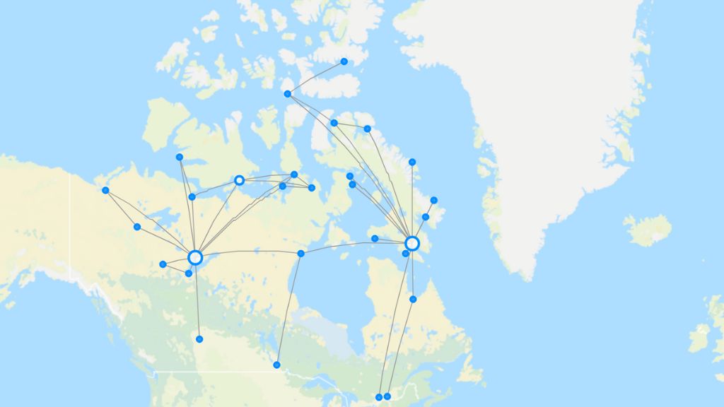
Canadian North – route map
Read more
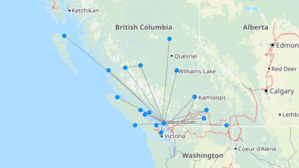
Pacific Coastal Airlines – route map
Read more
